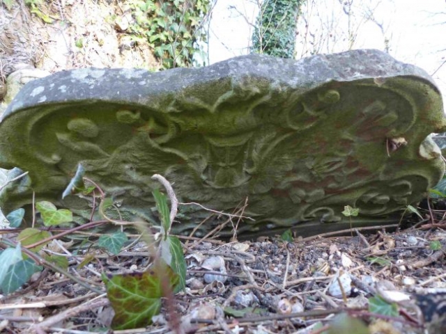
Ancient headstones – the old graveyard.
St Giles Hill Graveyard has medieval origins.
The Winchester map compiled by Goodson and dated 1750 shows the upper Medieval area of the graveyard (sections A to D). The current lower part is shown as Chalk Downland pasture.
The study of 19th century Ordinance Survey (OS) maps and the mapping of burial dates in the graveyard indicates that the St Giles Hill Graveyard was extended northward to the Alresford Road around 1870.
The 25 inches OS map to the mile map published in 1871 (revision completed in 1869) clearly shows only the upper area as being a graveyard.
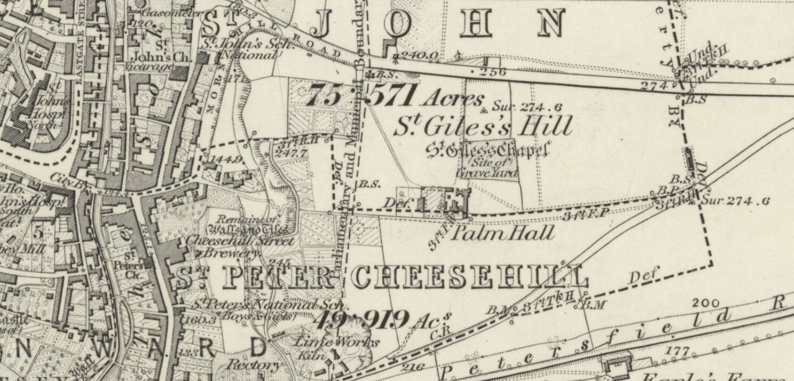
The next revision of the OS map took place in 1884/5 and was published in 1898. This map shows an outline equal to the current curtilage of the graveyard.
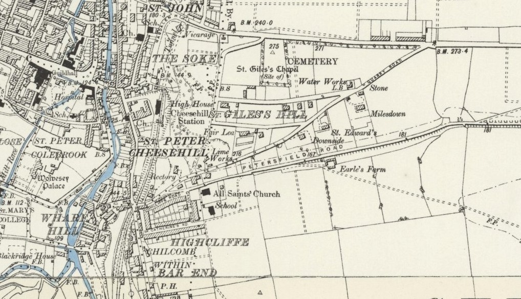
The examination of the dates found on burial inscriptions and their distribution in the graveyard supports 1870 and the date of extension. The earliest burial we have located in the graveyard extension (sections E to H) is grave no. 470, that of Mary Roberts, a native of Bermuda and wife of Charles Collins who dies in 1870. When the lower graveyard became active, the upper graveyard continued to be used into the 1900’s presumably by families that already owned plots.
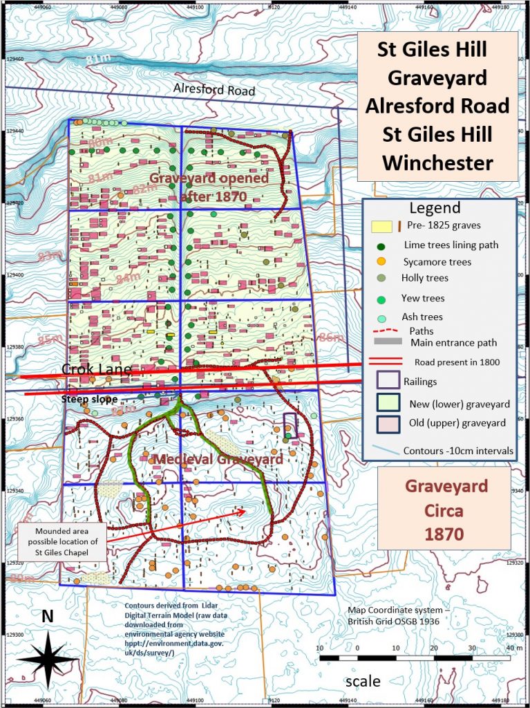
A map with the section layout used for management etc. can be found under:- Friends of St Giles Hill Graveyard “Objectives and Management Plan”.
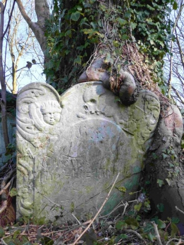
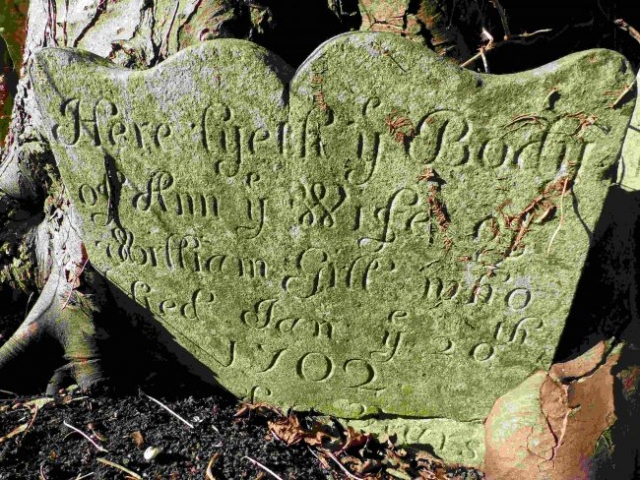
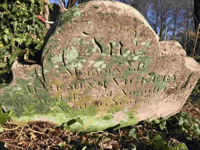
The oldest observable grave in St Giles Hill Graveyard is that of 19-year-old William Gill jr. who died in 1694, more than 300 years age. This inscription is partially obscured by tree growth but is still readable if the sun is at a suitable angle To put this into perspective when William Gill dies William III had been the king of England for 5 years.
The inscriptions of many others have worn away. It is likely that even older graves are present given that in the medieval period the plot surrounded St Giles Chapel and has been long attached to the medieval church of St Johns in the Soke.
The oldest graves appear to be concentrated in the southern sections of the graveyard (see map below). The location and a record of the inscription can be found on the Grave database page.
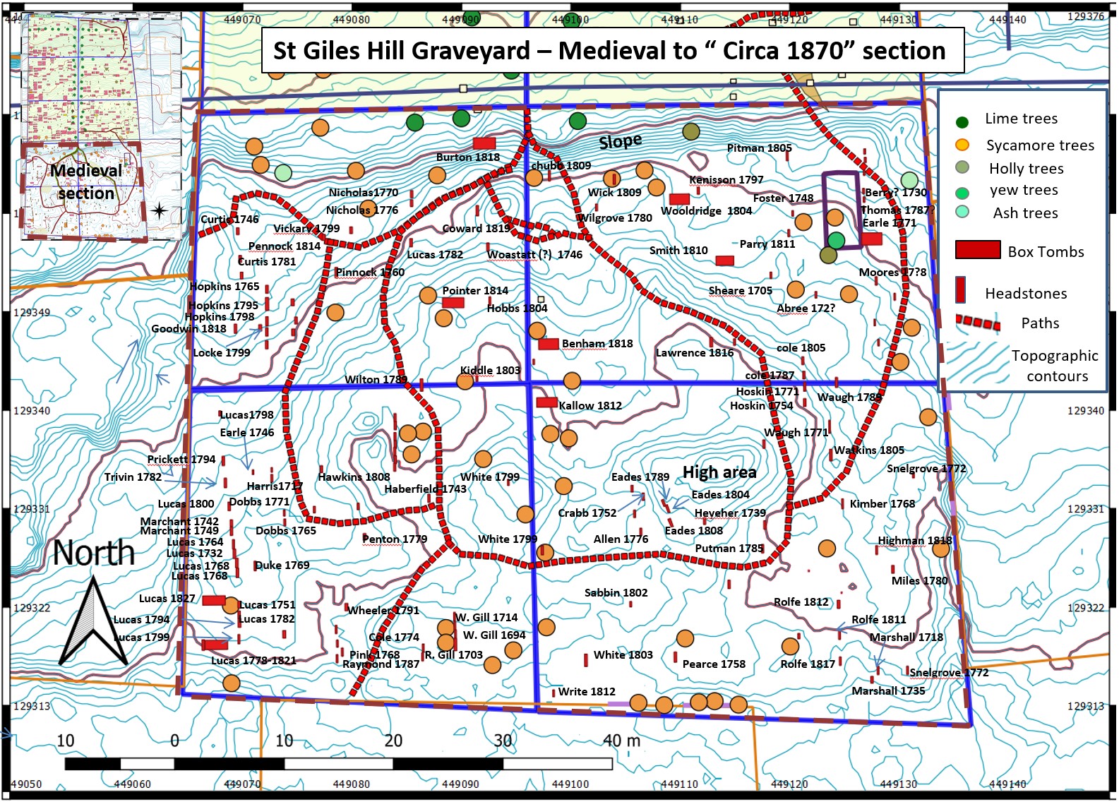
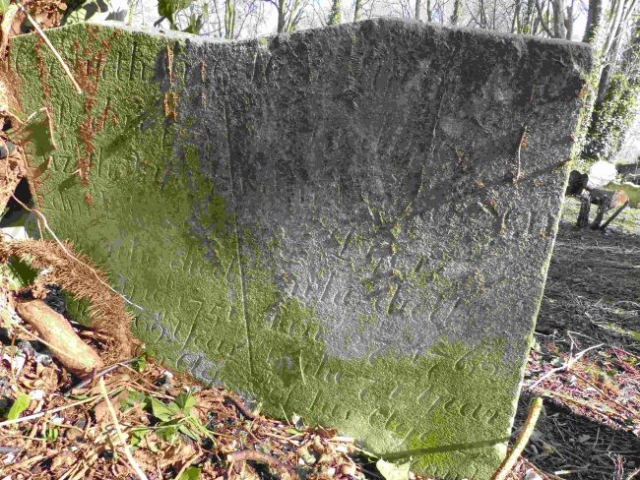
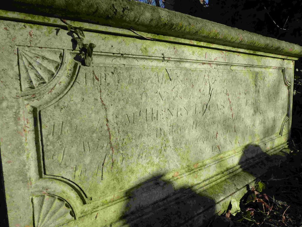
Section A in the South East corner is dominated by burials of the Lucas family. The monuments are a mix of headstones and box tombs. Some members of this family appear to have been builders. Henry Lucas and his wife have an impressive box tomb memorial. Henry died in 1827 at the age of 84. His profession is mentioned in, what is left, of the inscription on his tomb (on the right side of the tomb if you are facing west) is shown below:
“He whose merits will be remembered by —————— Mr. Henry LUCAS of East Soke, Winchester. Builder, w.d.t.l. 15 March 1827 aged 84. Left side – STTMO Lydia LUCAS wife of the late Henry LUCAS, Builder. w.d.t.l. Nov. 23 1828 aged 90 years.”
He may have worked on Winchester castle although I have no reference to this (pers com Beatrice Clayre).
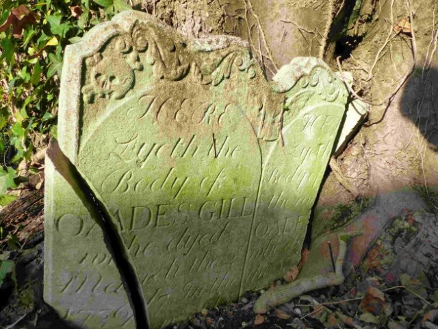
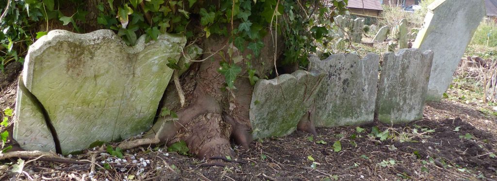
The growth of trees close to grave structures has often fractured and destabilised headstones as evidenced by this group of headstones (see photo below).
This line of headstones includes the oldest monument surviving in the graveyard, that of William Gill jr. who dies in 1694.
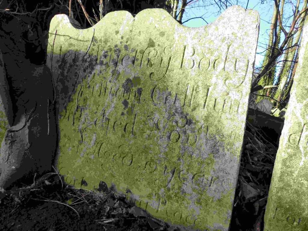
The same line of headstone also included William Gill senior and Ann Gill.

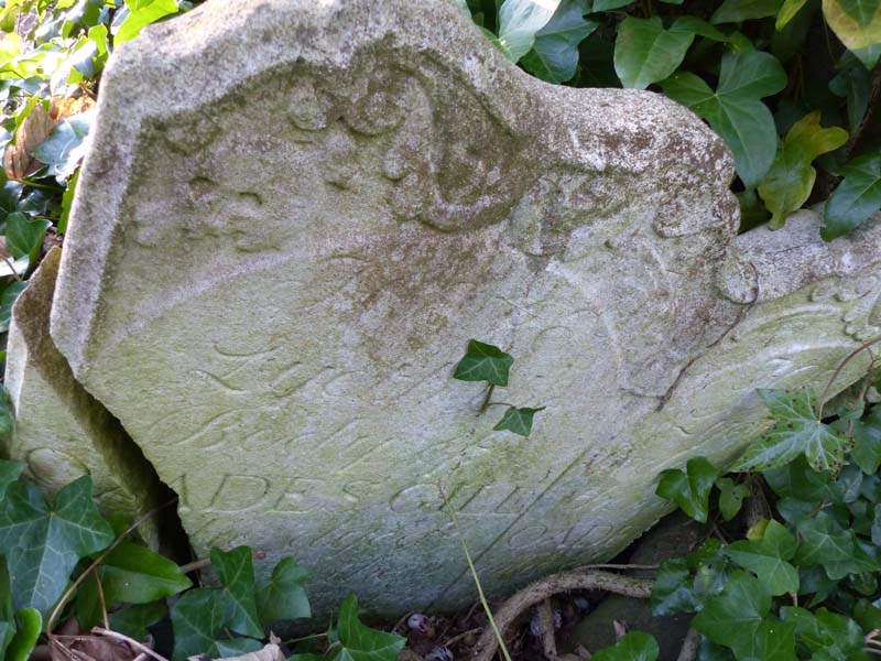
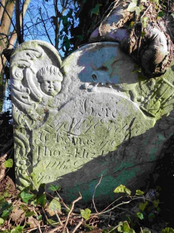
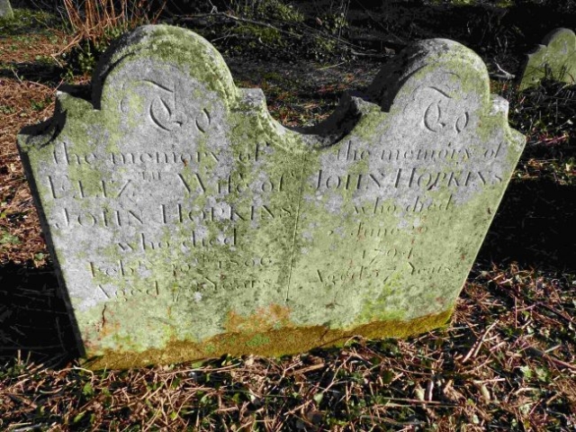
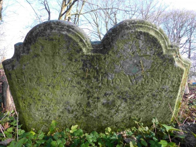
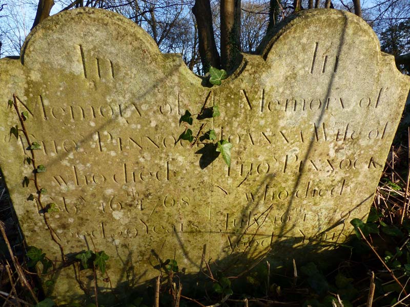
Many of the 18th century headstones are double such as the example below.
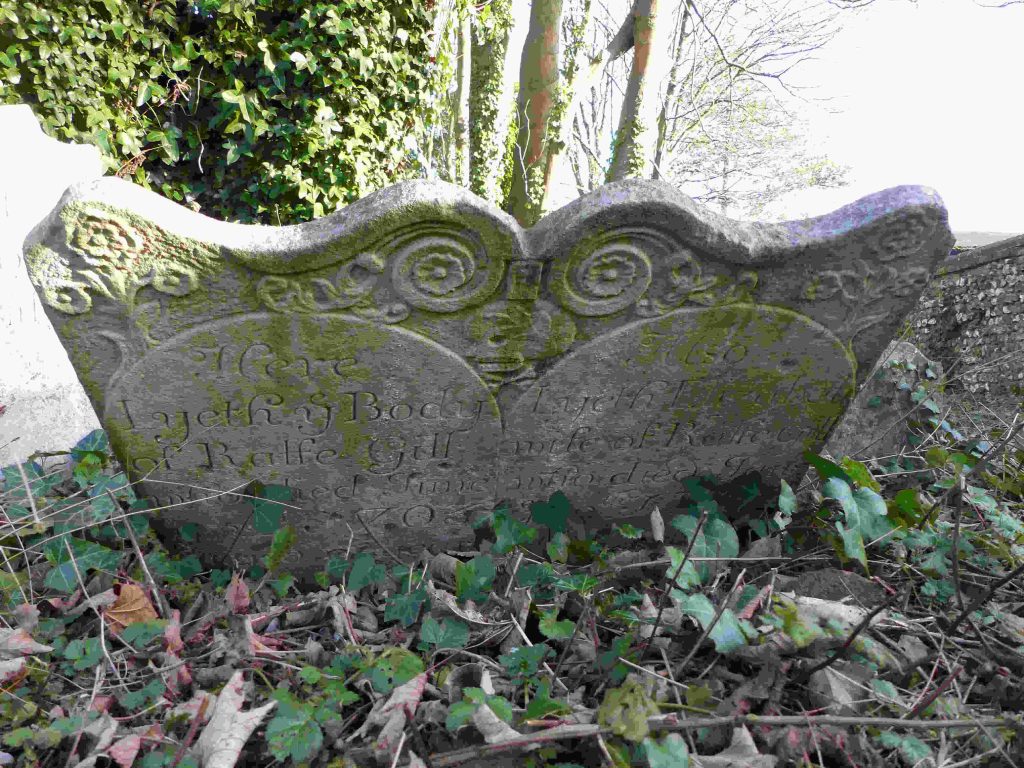
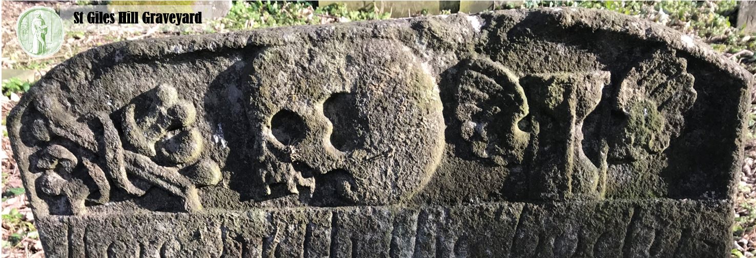
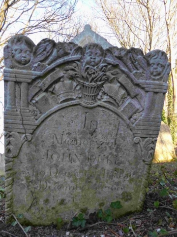
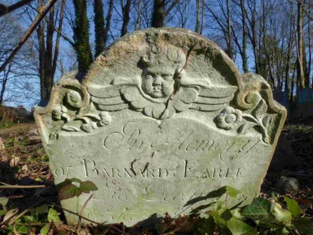
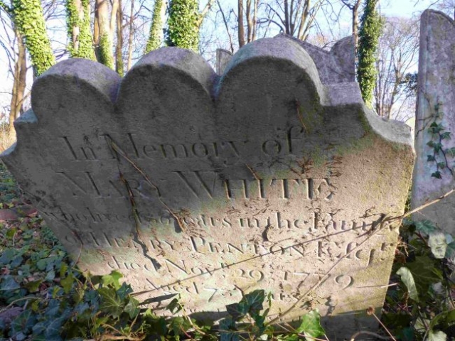
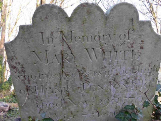
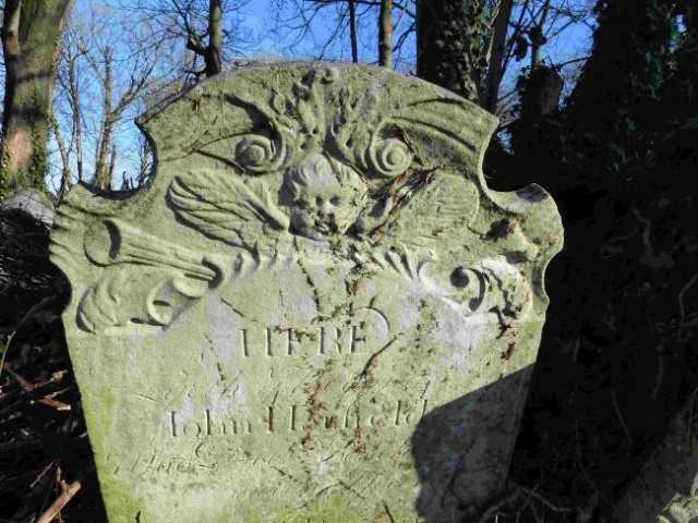
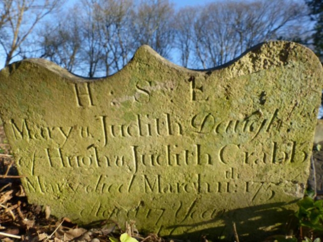
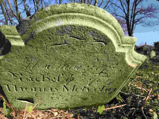
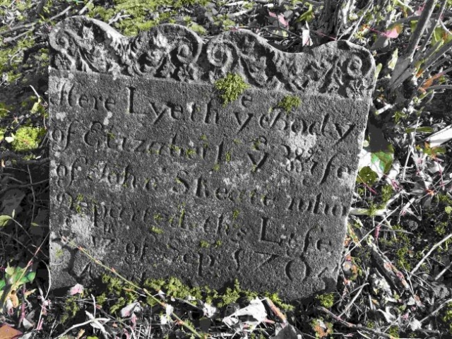
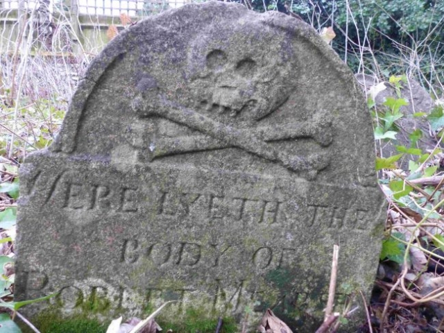
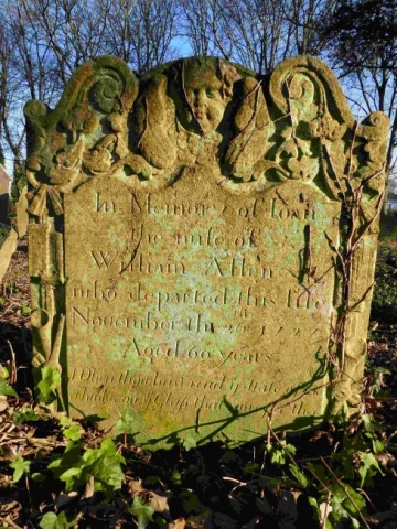
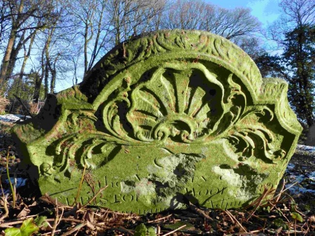
EXAMPLES OF OTHER HEADSTONES IN THE MEDIEVAL GRAVEYARD.
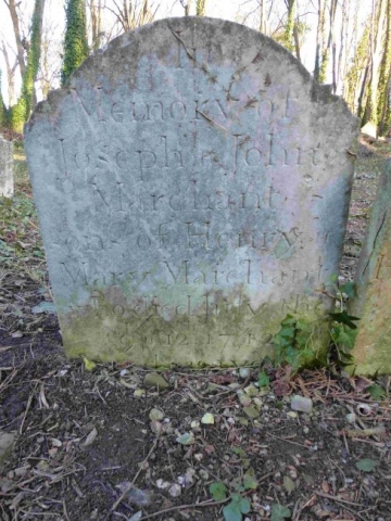
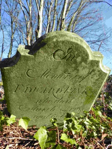
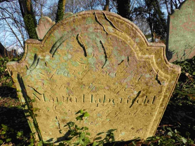
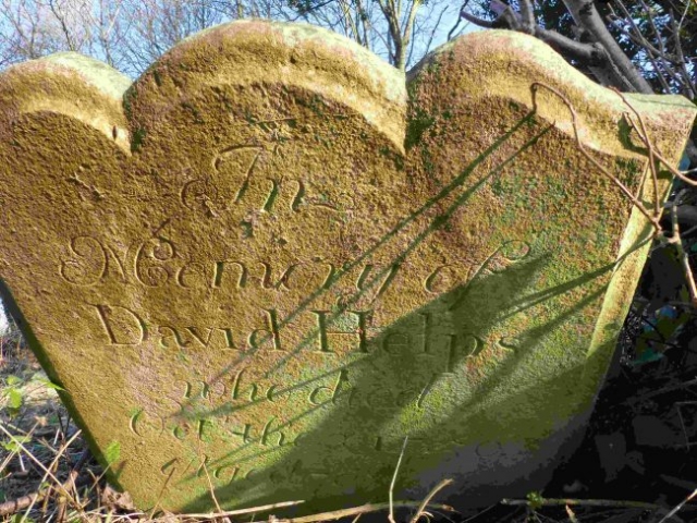
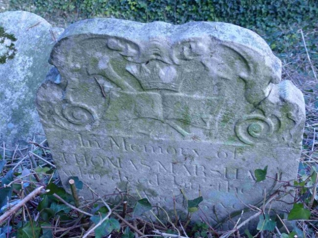
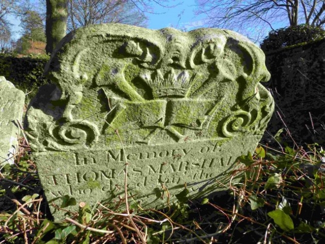
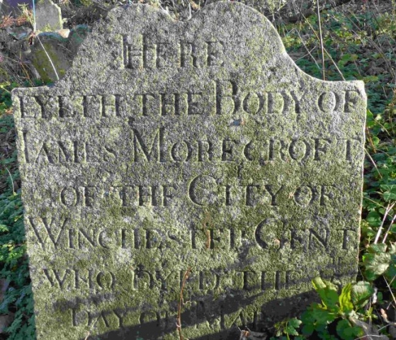
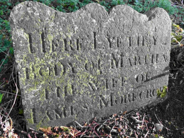
A few examples of the headstones in the upper graveyard are displayed below.
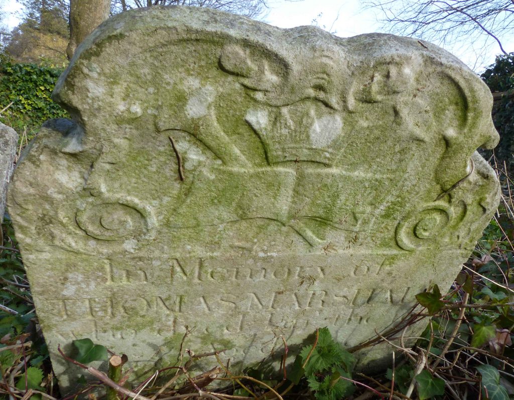
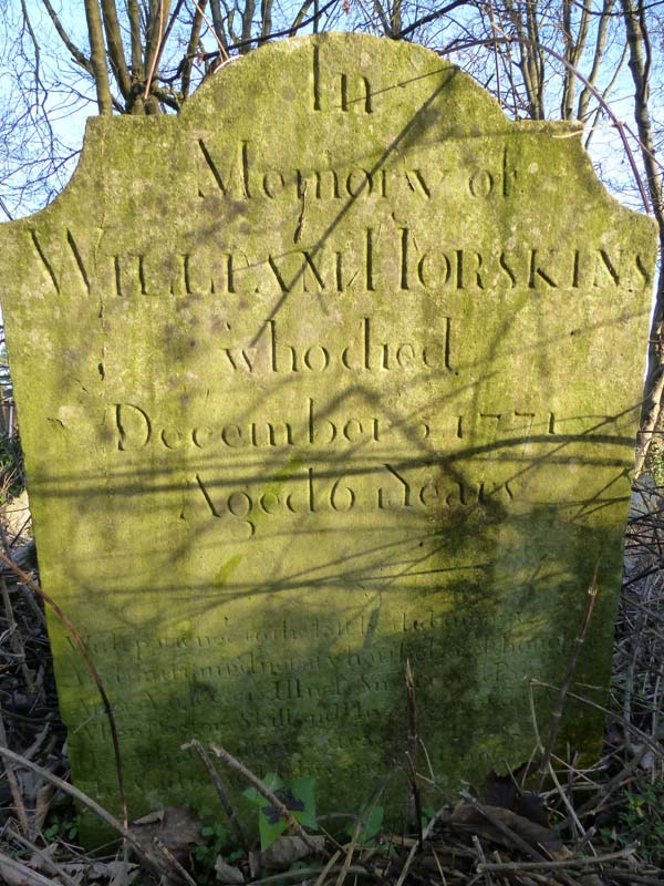
Double headstones were common during the 18thC. A good example is the headstone of Thomas and Joanna Pinnock, dating from 1760 and 1779 respectively.
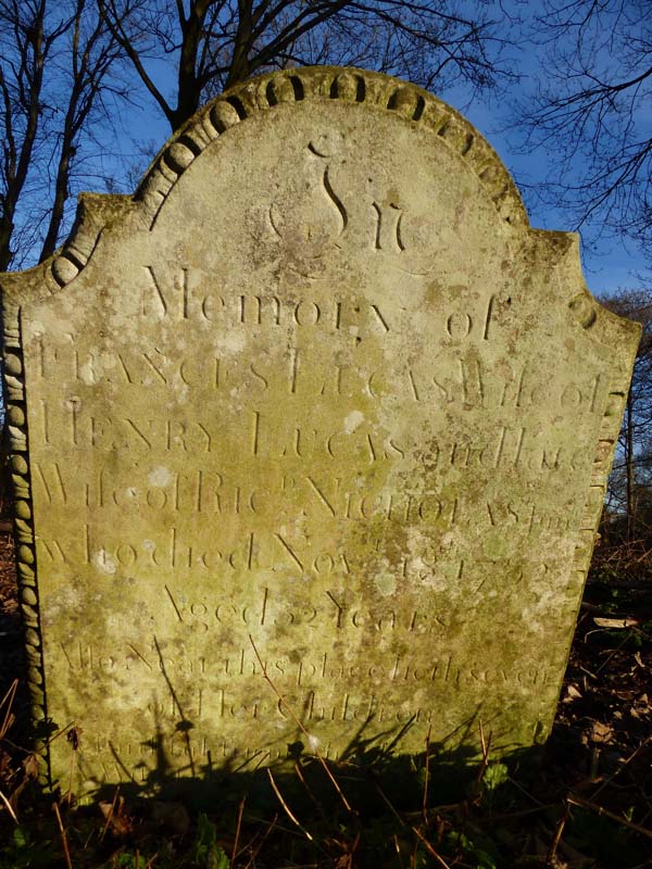
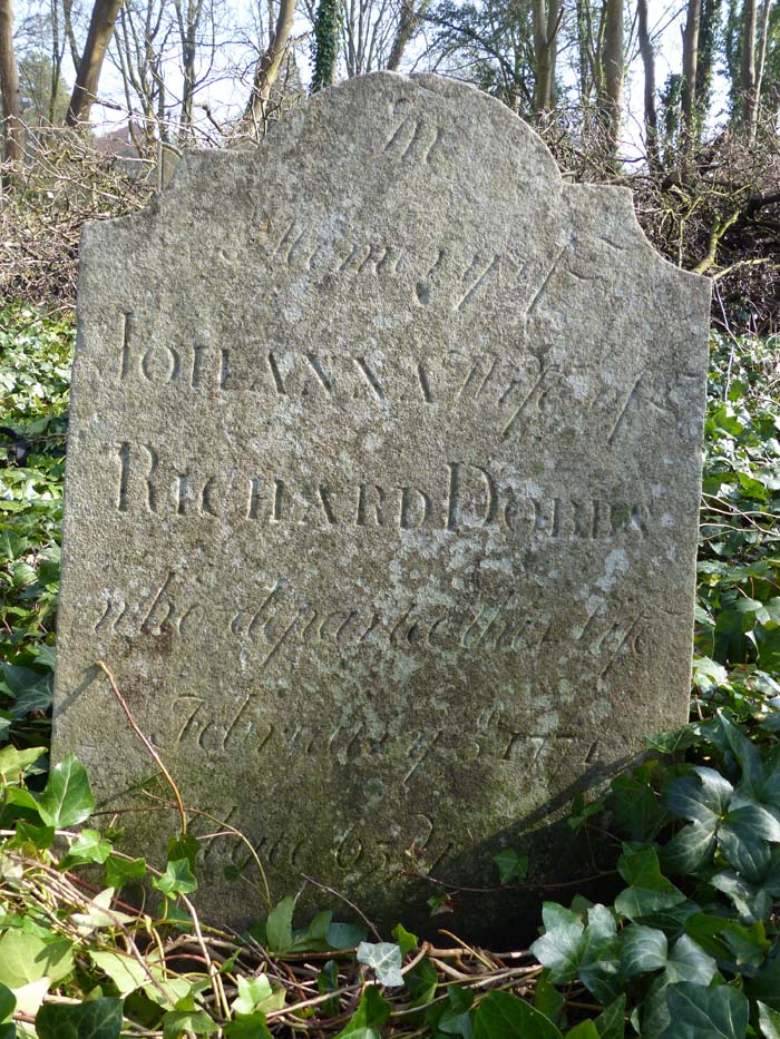
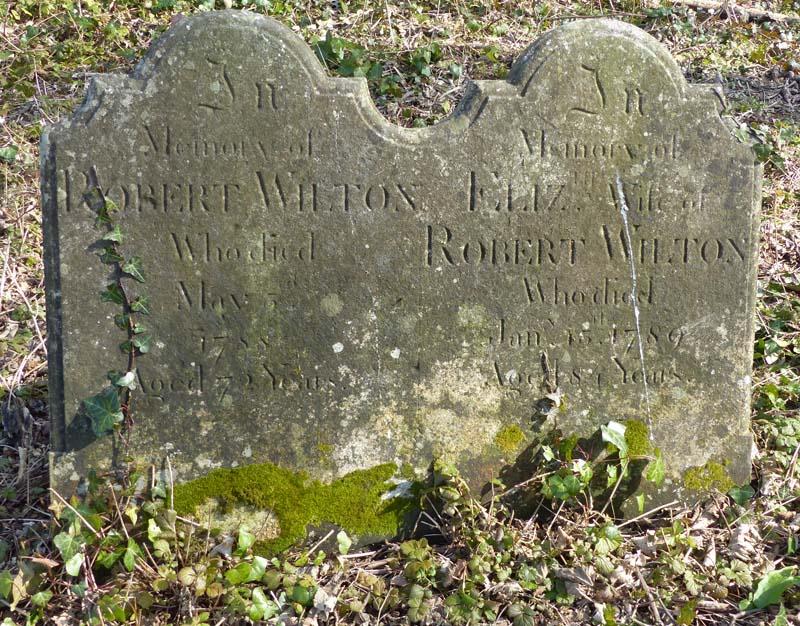
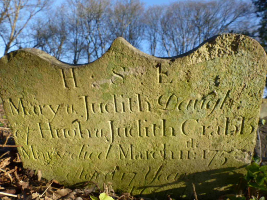
The gallery below illustrates others.
