St Giles Hill in the 19th century
In the later part of the 19th C St Giles Hill saw a lot of changes. The 1869 25-inch OS map of St Giles Hill shows few houses (apart from Palm Hall). The hill was rather isolated despite having a thriving community below. Cheesehill Street buzzed with shops, a brewery, and a public house. The map shows St Johns Street (a medieval street) but no St Johns Rd.

Part of the OS map published in 1874 (but surveyed in 1869)

Below St Giles Hill there was a railway station known at the time as Cheesehill Station. A railway tunnel passed under St Giles hill emerging in Winnall
Fast forwarding to the OS 25 inch map published in 1898 (actual revision 1894-1895) and there are a few more houses on St Giles Hill, St Johns Rd, and Highcliff have been built. Also, there was a chalk quarry and lime works in an area that we now call the sunny slope. Below St Giles Hill there was a railway station known at the time as Cheesehill Station. A railway tunnel passed under St Giles Hill emerging in Winnall. This undoubtedly helped push the development of St Giles Hill as a residential area.
Another point of interest is that the old St Giles Hill Graveyard that occupies a position near the top of the hill has been extended down to the Alresford Road, more than doubling its size.
St Giles Hill Graveyard 1894/5. Image from Ordinance Survey 25 inches to the mile published 1897 - Sheets XLI13 and XLI14
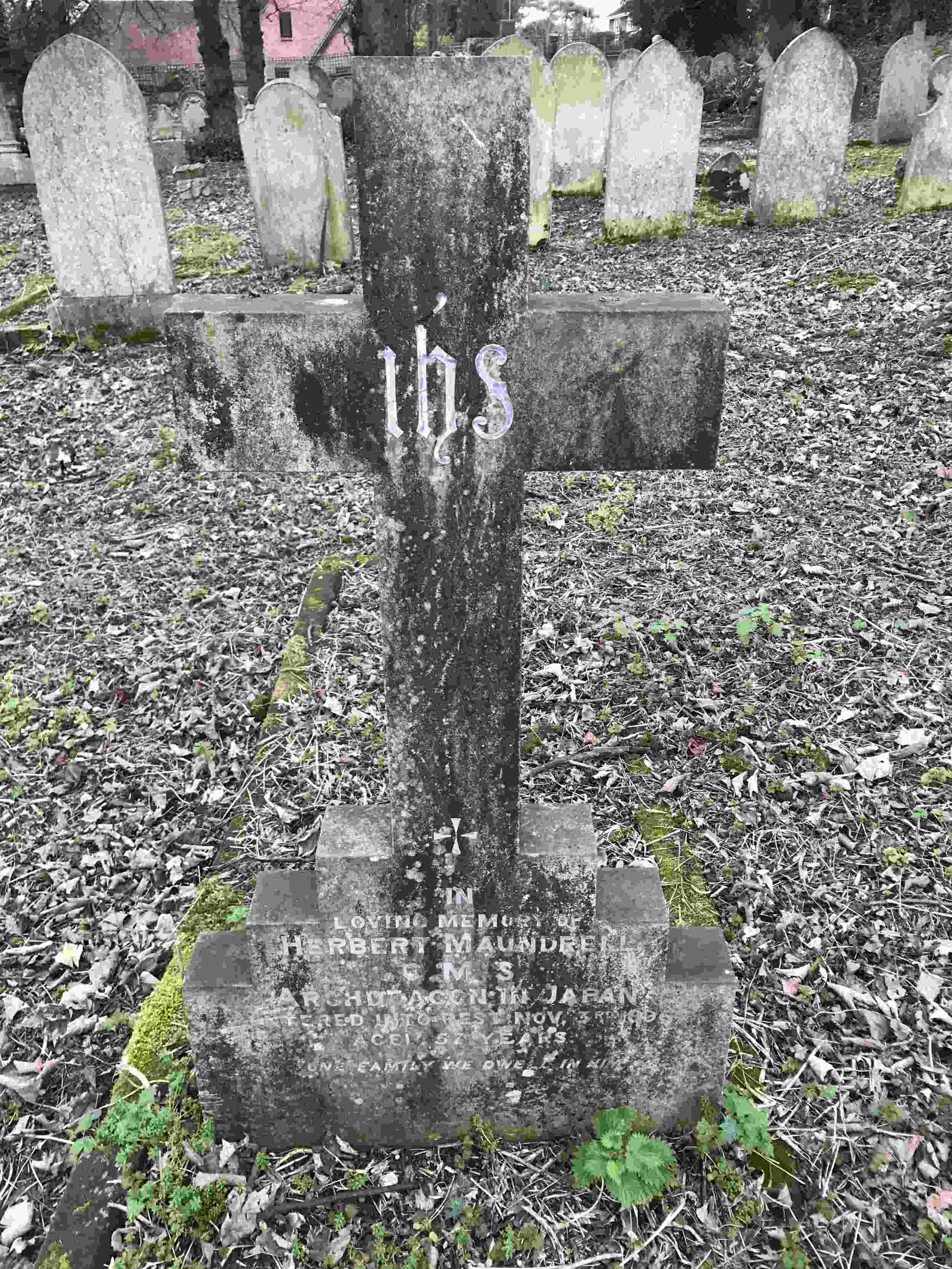
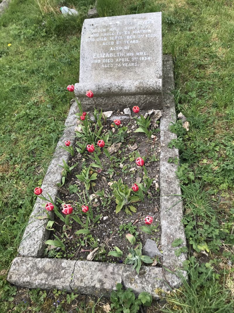
St Giles Hill Graveyard was the main burial place in the St Peters Cheesehill and St Johns parish areas and clergy from both churches are buried there. A look at the people buried in the graveyard gives an idea of the social makeup of Winchesters Eastern Soke.


