St Giles Hill
Its topographic position
St Giles Hill is located on the east side of Winchester between the town and the M3. The eastern slope of the hill overlooks King Alfred's statue, the Cathedral, and the city high street. The southern slope has good views of St Catherine's Hill and Twyford Down.
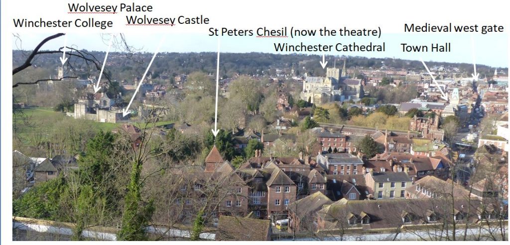
 Winchester city looking towards the west from the outlook on St Giles Hill.The key historic buildings are marked.
 A focused view of Winchester Cathedral and Winchester High Street looking west. The Medieval gate can just be seen at the top of the town.
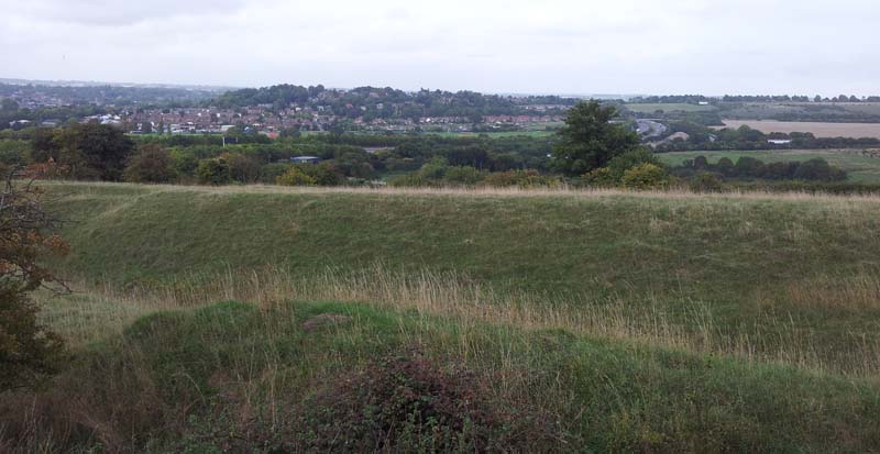
Magdalen Hill Down forms a topographic extension to the hill to the east. The north looks towards Winnall Moors Nature Reserve.
Topographic map of the area between Winchester and Cheesefort Head. Map based on raw Lidar data downloaded from DEFRA (https://environment.data.gov.uk/).
St Giles Hill lies within a large conservation area which includes Winchester Cathedral and the old city centre.
You can explore the topography of St Giles Hill by using the 3D topographic model below. The model was built using Lidar data.
St Giles Hill 3D topographic model by Vectis on Sketchfab
Lidar data can now be downloaded from the Department for Environment Food & Rural Affairs (Defra) data services platform in 2m, 1m and 50cm resolution.
Look for the Surveys menu item to bring up the Defra Surveys Data Download map. The Lidar topographic maps seen on the pages of this website are generally based on 50cm data.
The following link will take you to the Defra home page;- https://environment.data.gov.uk/
Winchester was an important English town from the Anglo-Saxon period into the Middle Ages. The city was the seat of the Anglo-Saxon monarchs of the kingdom of Wessex, the best known of which is probably King Alfred. The city achieved it's zenith in the 10th and 11th centuries as the economic centre of England and as a centre of government, the treasury and a royal residency. In later times it's position as capital city of England was gradually eroded, chiefly by London which took over as the dominant royal centre.
St Giles Hill sits just outside Winchester's old East Gate (no longer standing). Archaeological evidence suggests it was used by humans from early Palaeolithic times, the Romans, and the Anglo-Saxons for burials. This use continued though medieval times into the 20th C.
The hill takes its name from the medieval St Giles chapel that stood on the hill and from St Giles Fair, which was held annually from 1096 until the 15th century. The hill has a prominent flat area whisc is now a green used for recreation.

The green on top of St Giles Hill.
A good view of St Giles Hill and Winchester City can be had from the Dongas on Twyford Down to the south.


 View of St Giles Hill looking east from the top of Winchester Cathedral.
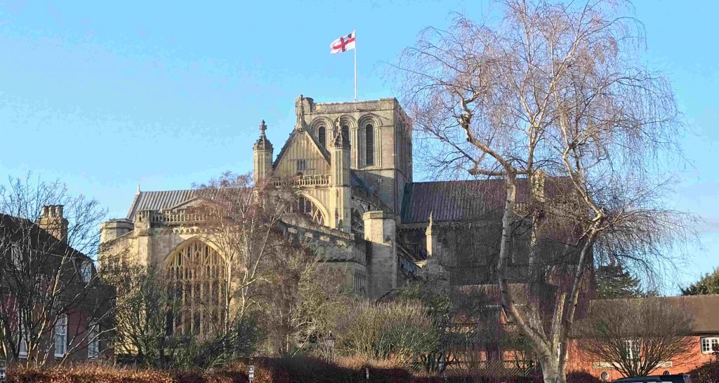
 Winchester Cathedral on a crisp New Years Day 2019